WSP is an industry leader in performing comprehensive, state of the practice hydraulic and hydrologic analyses throughout the U.S.
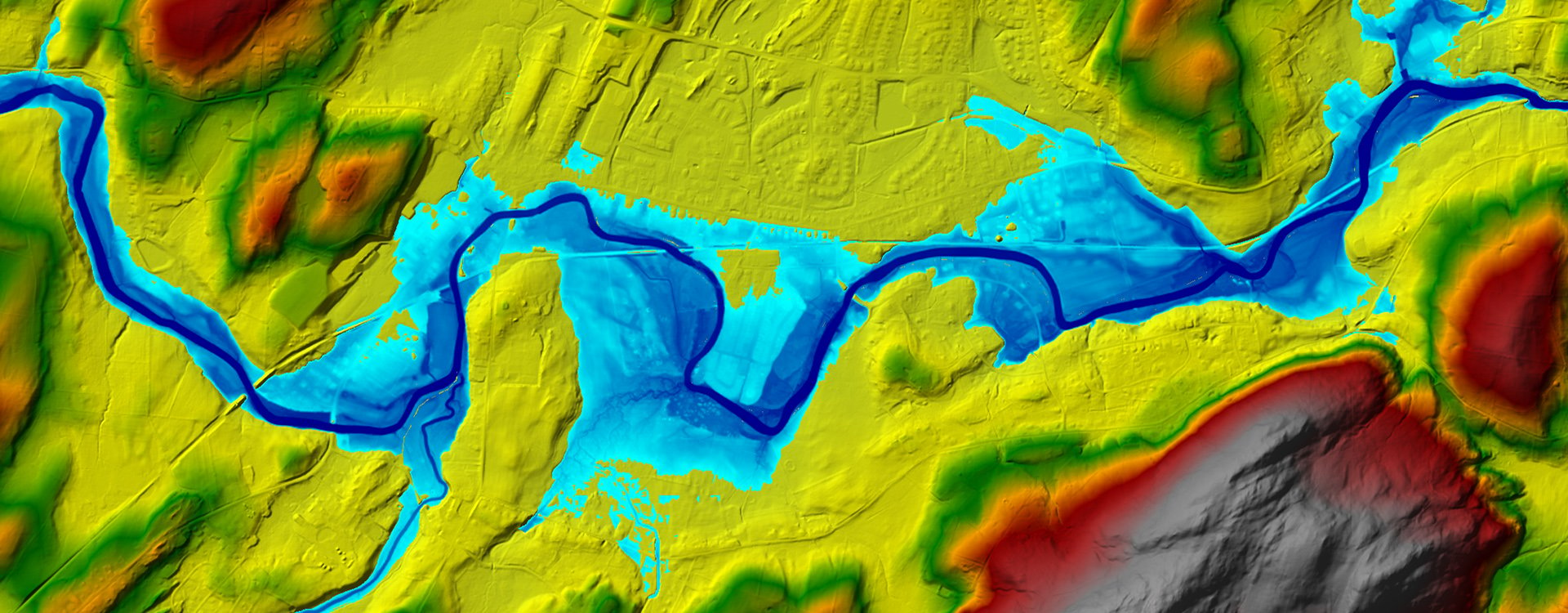
Our engineers have expertise in a wide array of the latest tools and models, ranging from simple to sophisticated. This expertise allows us to provide high-quality services across a varied range of applications. Using these tools together with high-quality data, our engineers determine flood levels, discharges, flow velocities and other key hydraulic parameters for existing conditions and proposed designs.
Our comprehensive approach and suite of modeling tools increase the level of confidence and reduce conservatism in our analyses, resulting in efficient designs that satisfy applicable guidelines and regulations, while reducing project costs.
Addressing a Changing Climate
Climate trends are increasing flood risks in many areas. Our modeling team routinely supports our clients by helping them understand and adapt to these new conditions.
We quantify the impacts of sea level rise, changing precipitation patterns and intensifying flood events. By assessing increasing flood risks and identifying at-risk assets, we create resilient cities, infrastructure and systems through an integrated, multidisciplinary approach.
Areas of Expertise
Hydrologic Engineering
— Watershed studies and hydrologic modeling
— Climate change risk analysis
— Flood frequency analysis
— Flood forecasting
— Probable maximum precipitation/probable maximum flood analysis
— Spillway design flood analysis
Hydraulic Engineering
— 1D and 2D hydraulic modeling
— 3D computational fluid dynamics modeling
— Physical modeling
— Dam hazard classification assessments
— Inspections and adequacy assessments for hydraulic structures
— Conceptual and Detailed design and rehabilitation for dams, spillways and gates; inlet and outlet works; training walls and stilling basins
— Bridge and culvert hydraulics
— Stream stabilization and restoration design
— Dam breach modeling
— Fish passage modeling and design
— Tidal, storm surge and wave modeling
Geomorphic Assessment and Sediment Transport
— Scour analysis and erosion protection
— Sediment transport analysis and modeling
— Morphologic classification
— Reservoir sedimentation
— Streambank erosion analysis
— Watershed sediment yield estimates
Risk and Hazard Assessment
— Risk and uncertainty analysis
— Dam breach analyses, inundation mapping and emergency action plans
— FEMA Flood Insurance Study
— FEMA Letter of Map Amendment and Letter of Map Revision
— Flood mitigation and resiliency planning